3.3.1.4. Import topography
Topography can be imported through six different file formats: Use the main project menu: Import → Topo
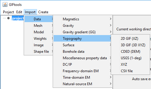
File formats:
Canadian Digital Elevation Data (CDED)
USGS 1-degree
Topography can be imported through six different file formats: Use the main project menu: Import → Topo
File formats:
Canadian Digital Elevation Data (CDED)
USGS 1-degree