5.1.13. Miscellaneous property file format
A miscellaneous property file is in either the XYZ or CSV file format. This file simply requires the spatial coordinates and then can contain any information (numeric or character). The file must have the the following information (but not necessarily these specific names or order):
Easting: The easting coordinate (can be local) in metres
Northing: The northing coordinate (can be local) in metres
Elevation: The elevation in metres
5.1.13.1. Examples
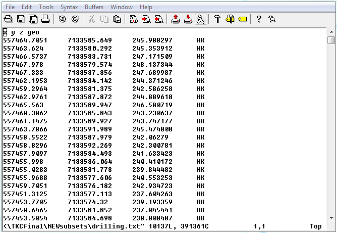
Below is a sample property file (XYZ format) giving the drill outline of a kimberlite: